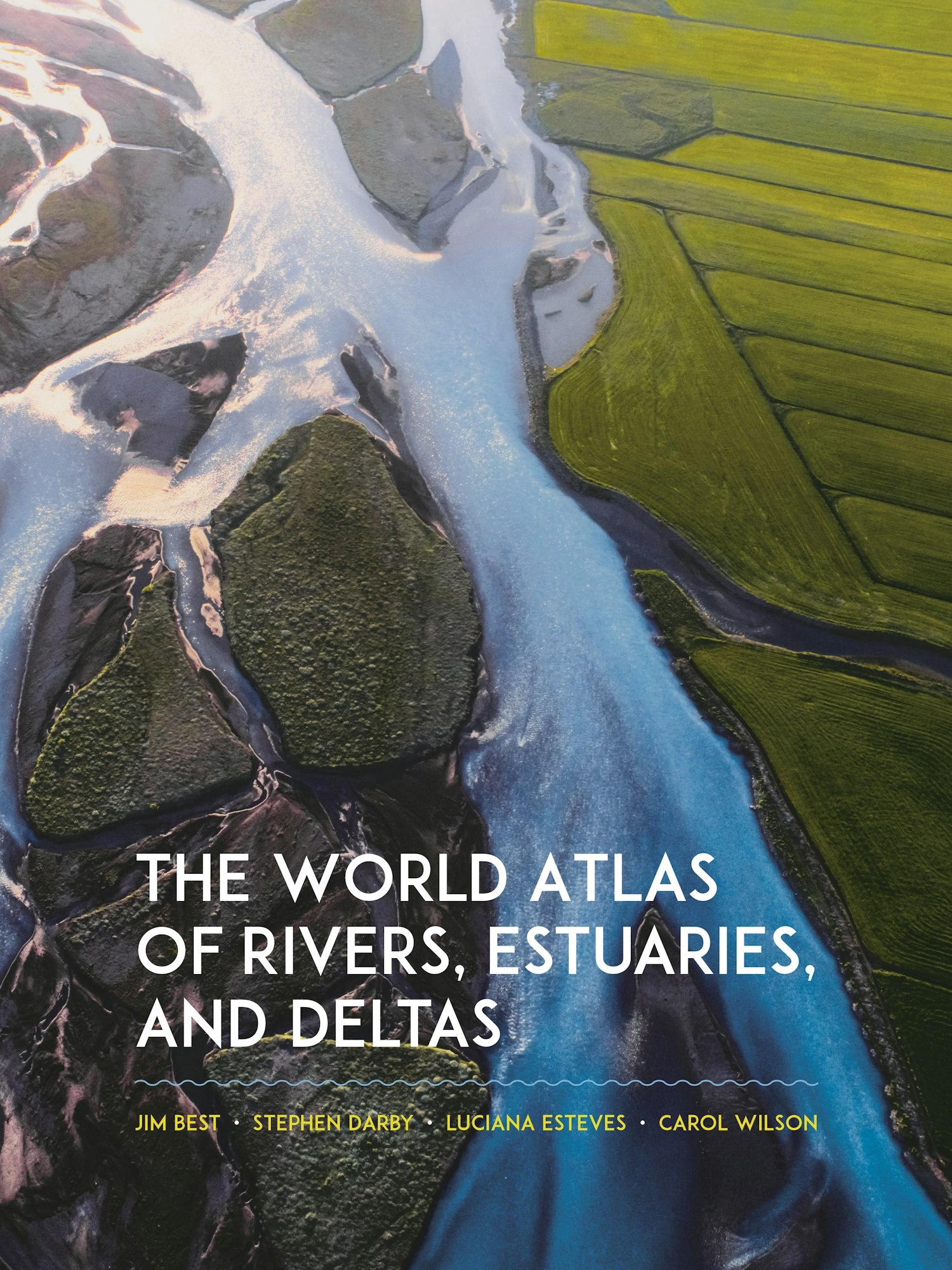


The World Atlas of Rivers, Estuaries, and Deltas
- Inclusief 9% btw: €58,86
- Exclusief btw: €54,-
- Gratis verzending in Nederland vanaf €50,-*
- Op werkdagen voor 17:00 uur besteld? Zelfde dag verzonden!
- Niet goed? Geld terug
- We denken graag met u mee!


| Auteurs | Jim Best, Stephen Darby, Luciana Esteves, and Carol Wilson |
| Taal | Engels |
| ISBN | 9780691244839 |
| Uitgever | Princeton University Press |
| Pagina's | 400 |
| Bindwijze | Hardcover |
| Afmetingen | 312 x 236 mm |
| Afbeeldingen | 250 Colour images |
| Jaar van uitgave | 2024 |
From the Congo and the Mekong to the Seine and the Mississippi, Earth’s rivers carve through landscapes before coursing into the world’s oceans through estuaries and deltas. Their inexorable flow carries sediment and more, acting as lifeblood for a variety of ecosystems and communities. More than any other surface feature of Earth, rivers, estuaries, and deltas are vitally important to our economic and social well-being, and our management of them often sits at the sharp edge of today’s most pressing environmental challenges. The World Atlas of Rivers, Estuaries, and Deltas takes readers on an unforgettable tour of these dynamic bodies of water, explaining how they function at each stage of their flow. Combining maps and graphics with informative essays and beautiful photos, this invaluable reference book will give you a new appreciation for the power that rivers, estuaries, and deltas wield.
Er zijn nog geen reviews geschreven over dit product..
Maak uw bestelling compleet